Medium

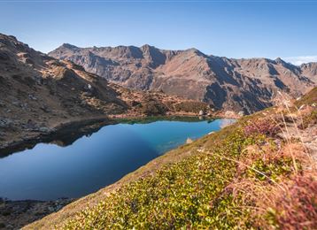
Vier-Almen-Wanderung im Naturpark Karwendel

Hiking route

17,00 km

06:00 h

1074 hm

1600 m

Best Time of Year

Jan

Feb

Mar

Apr

May

Jun

Jul

Aug

Sep

Oct

Nov

Dec

Information

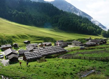
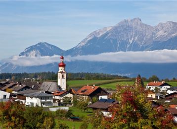
Von Thaur ausgehend geht es über 4 Almen mit wunderschönen Ausblicken auf das Inntal und die gegenüberliegenden Tuxer, Zillertaler und Stubaier Alpen!

Features & Properties

Stamina

Experience

Landscape

Map & Elevation Profile

Arrival

Hall - Thaur

Similar Tour Suggestions

Senselerweg: Von der Brixnerhütte und der Fanealm zum Spingeser Kreuz

Hard

Long-Distance Hiking

20,48 km

07:00 h

478 hm

1648 hm

2275 m

Rote Wand

Medium

Hiking route

12,31 km

05:30 h

980 hm

978 hm

2215 m

Entlang des Speckbacherweges

Easy

Hiking route

17,35 km

04:30 h

477 hm

489 hm

1023 m

Die Runstboden Runde im Halltal

Easy

Hiking route

4,59 km

01:30 h

186 hm

188 hm

916 m

On the panoramic Hochmahdkopf

Medium

Hiking route

8,13 km

04:00 h

963 hm

958 hm

1736 m

Thaurer Zunterkopf - the little neighbour of the Bettelwurf

Medium

Hiking route

13,48 km

05:00 h

1304 hm

1303 hm

1915 m

To the healing water of the Maria Larch Chapel

Medium

Hiking route

10,15 km

02:30 h

316 hm

832 m

Zum idylischen Mölssee

Medium

Hiking route

16,55 km

06:05 h

1019 hm

2379 m