Hiking

Easy

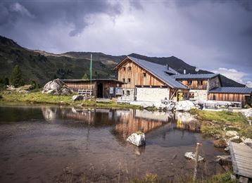
Die Runstboden Runde im Halltal

Hiking route

4,59 km

01:30 h

186 hm

188 hm

916 m

Best Time of Year

Jan

Feb

Mar

Apr

May

Jun

Jul

Aug

Sep

Oct

Nov

Dec

Information

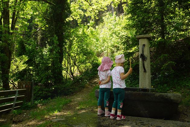
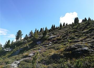
Am Forstweg ansteigend zum „Runstboden“westlich oberhalb des Halltals.

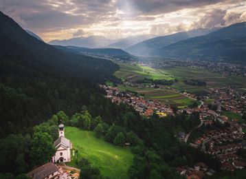
„Runst“ bedeutet Sauerampfer oder auch „Runse“, die Einkerbung. Am höchsten Punkt der Runde lädt eine Rastbank ein. Von hier führt der Weg nördlich ins Halltal hinunter. Entweder parallel zur Halltal-Straße zurück zum Sportplatz; oder kurz talein zur Bergerkapelle, über den Bach und an

Read More...

Features & Properties

Stamina

Experience

Landscape

Map & Elevation Profile

Arrival

Inntalautobahn A12, Ausfahrt Hall Mitte, dann einfach weiter über die Verbindungsstrasse Hall in Tirol - Richtung Absam

Similar Tour Suggestions

The Eagles' Way (Adlerweg) – Alpine Roses, Stone Pines, Nutcrackers

Medium

Long-Distance Hiking

7,83 km

02:25 h

201 hm

105 hm

2061 m

Panoramic Tour Bärenbader Jöchl

Medium

Hiking

Hiking route

4,53 km

02:00 h

234 hm

2289 m

To the healing water of the Maria Larch Chapel

Medium

Hiking

Hiking route

10,15 km

02:30 h

316 hm

832 m

Von der Tulfeinalm auf den Schartenkogel

Medium

Hiking

Hiking route

4,25 km

02:00 h

273 hm

2309 m

Romedius Pilgrim`s Way

Medium

Hiking

Pilgrim Walk

23,86 km

08:15 h

1049 hm

878 hm

977 m

Closed
Stage 5 - Karwendel Höhenweg

Hard

Long-Distance Hiking

9,09 km

06:00 h

800 hm

1100 hm

2694 m

Zum Wasserradl

Easy

Running

Nature Trail

2,58 km

00:47 h

86 hm

80 hm

1009 m

Munich - Venice: Through the Wattental to the Lizumer Hütte

Medium

Long-Distance Hiking

26,69 km

08:00 h

1604 hm

377 hm

2019 m