We use cookies for your personalized browsing experience, to personalize content and ads, to provide social media features, and to analyze traffic to our website. We also share information about your use of our website with our social media, advertising and analytics partners. Our partners may combine this information with other data that you have provided to them or that they have collected as part of your use of the Services. (incl. US providers)

Easy

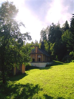
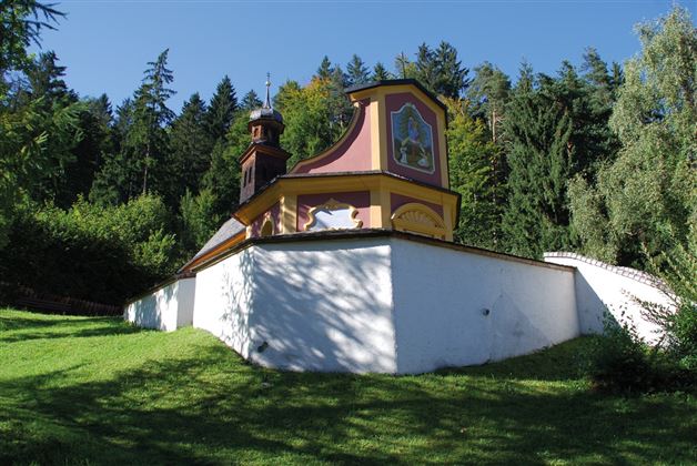
To the healing water of the Maria Larch Chapel

Hiking route

12,14 km

02:30 h

359 hm

354 hm

869 m

Best Time of Year

Jan

Feb

Mar

Apr

May

Jun

Jul

Aug

Sep

Oct

Nov

Dec

Information

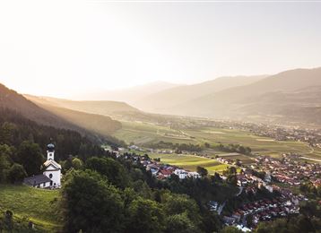
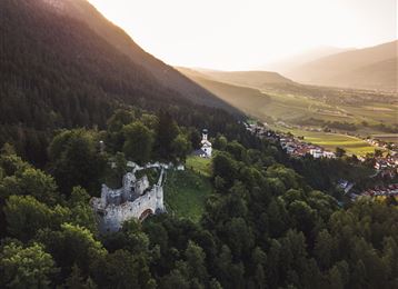
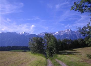
This easy hike takes us with a wonderful view of the surrounding mountains to the healing spring of the Maria Larch chapel. Always along the sunny side of the Inn Valley to the Gnadenwalder Plateau. Passing old farmhouses and "Materl" along the way.

Features & Properties

Stamina

Experience

Landscape

Map & Elevation Profile

Arrival

The best way to arrive by car is via the Inntal autobahn A12 and exit No 61 (Wattens) - follow the signs to Fritzens

Similar Tour Suggestions

Munich - Venice: Through the Wattental to the Lizumer Hütte

Medium

Long-Distance Hiking

26,69 km

08:00 h

1604 hm

377 hm

2019 m

Von Volderwildbad zur Largozalm

Medium

Hiking route

8,24 km

03:30 h

822 hm

835 hm

1933 m

Viggarspitze

Medium

Hiking route

16,14 km

06:00 h

427 hm

1562 hm

2303 m

Über die Thaurer und Vintl Alm

Medium

Hiking route

13,76 km

05:00 h

1037 hm

1027 hm

1600 m

Varied hike along the Adolf Pichler Trail

Easy

Hiking route

11,29 km

03:00 h

360 hm

232 hm

953 m

The Inntaler Höhenweg trail

Medium

Long-Distance Hiking

75,75 km

30:40 h

4967 hm

4529 hm

2794 m

Ganalm-Walderalm

Hard

Hiking route

15,42 km

04:00 h

662 hm

672 hm

1502 m

Stage 1 Kranzach/Gnadenwald to Wattens

Easy

Long-Distance Hiking

11,83 km

03:05 h

189 hm

517 hm

899 m