Easy

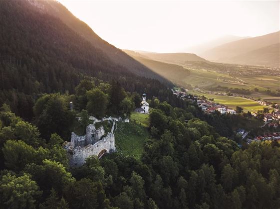
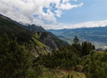
Varied hike along the Adolf Pichler Trail

Hiking route

11,29 km

03:00 h

360 hm

232 hm

953 m

Best Time of Year

Jan

Feb

Mar

Apr

May

Jun

Jul

Aug

Sep

Oct

Nov

Dec

Information

This trail leads from Absam above the MARTHA villages to Hungerburg. 

Features & Properties

Stamina

Experience

Landscape

Map & Elevation Profile

Arrival

By car or public transport to Absam to the sports field.

Similar Tour Suggestions

Panoramic Tour Bärenbader Jöchl

Medium

Hiking route

4,53 km

02:00 h

234 hm

2289 m

To the healing water of the Maria Larch Chapel

Medium

Hiking route

10,15 km

02:30 h

316 hm

832 m

Medium

Hiking route

6,43 km

02:00 h

287 hm

280 hm

1626 m

Stage 5 - Karwendel Höhenweg

Hard

Long-Distance Hiking

9,09 km

06:00 h

800 hm

1100 hm

2694 m

Almwanderung Außermelang-Alm

Easy

Hiking route

7,81 km

02:45 h

473 hm

1871 m

Zur Krokusblüte auf die Walderalm

Medium

Hiking route

9,44 km

04:30 h

619 hm

620 hm

1502 m

Lavierenbad Rundwanderweg

Easy

Hiking route

8,10 km

02:00 h

213 hm

209 hm

1009 m

Munich - Venice: Through the Wattental to the Lizumer Hütte

Medium

Long-Distance Hiking

26,69 km

08:00 h

1604 hm

377 hm

2019 m

Closed