We use cookies for your personalized browsing experience, to personalize content and ads, to provide social media features, and to analyze traffic to our website. We also share information about your use of our website with our social media, advertising and analytics partners. Our partners may combine this information with other data that you have provided to them or that they have collected as part of your use of the Services. (incl. US providers)

Easy

Stage 1 Kranzach/Gnadenwald to Wattens

Long-Distance Hiking

11,83 km

03:05 h

189 hm

517 hm

899 m

Best Time of Year

Jan

Feb

Mar

Apr

May

Jun

Jul

Aug

Sep

Oct

Nov

Dec

Information

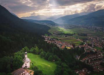
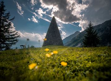
We start our 5-day long-distance hike through the Hall-Wattens region in Kranzach. The bus line 3 from Hall takes us here. (Car park available for multi-day tours)

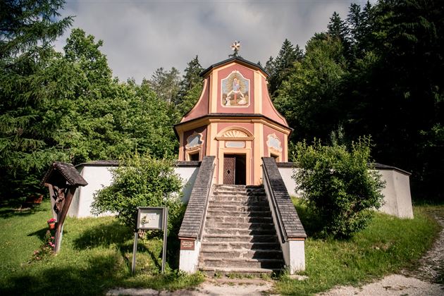
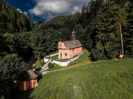
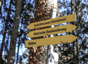
The trail leads along the Way of St. James via Brantach and Mairbach, down to the power place Maria Larch and on through Eggen.

At

Read More...

Features & Properties

Stamina

Experience

Skill

Landscape

Map & Elevation Profile

Arrival

Hall - Absam - parking place Kranzach/Gnadenwald

Similar Tour Suggestions

Stage 2 Wattens to Tulfes

Medium

Long-Distance Hiking

19,26 km

06:25 h

1125 hm

764 hm

1561 m

Hike to 4 huts - Almenweg 1600

Medium

Hiking route

10,41 km

03:10 h

251 hm

656 hm

1959 m

Über die Thaurer und Vintl Alm

Medium

Hiking route

13,76 km

05:00 h

1037 hm

1027 hm

1600 m

Die Neunerspitz` Runde

Hard

Hiking route

10,87 km

04:00 h

794 hm

793 hm

2668 m

Ganalm-Walderalm

Medium

Hiking route

17,67 km

04:00 h

702 hm

707 hm

1503 m

Lavierenbad Rundwanderweg

Easy

Hiking route

8,10 km

02:00 h

213 hm

209 hm

1009 m