We use cookies for your personalized browsing experience, to personalize content and ads, to provide social media features, and to analyze traffic to our website. We also share information about your use of our website with our social media, advertising and analytics partners. Our partners may combine this information with other data that you have provided to them or that they have collected as part of your use of the Services. (incl. US providers)
Medium

Über die Thaurer Alm zum Törl und in das Halltal

Hiking route

13,45 km

05:00 h

1179 hm

1058 hm

1804 m

Best Time of Year

Jan

Feb

Mar

Apr

May

Jun

Jul

Aug

Sep

Oct

Nov

Dec

Information

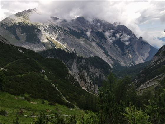
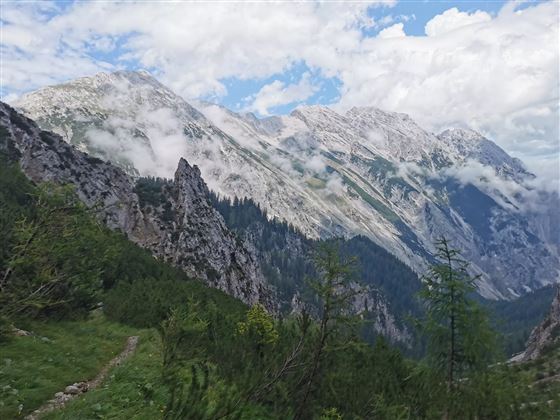
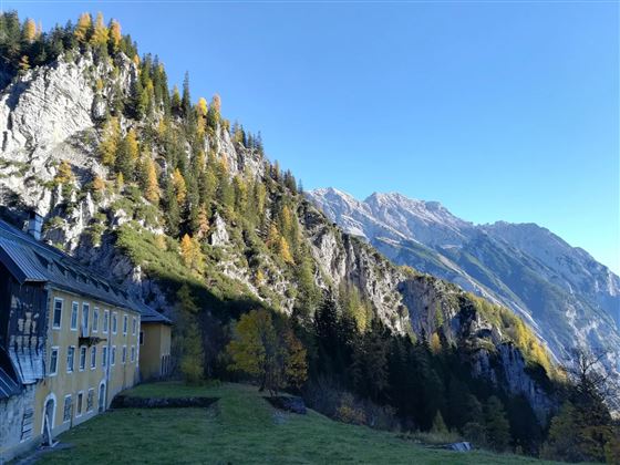
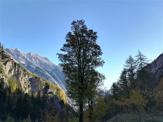
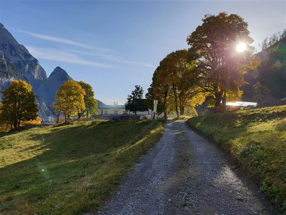
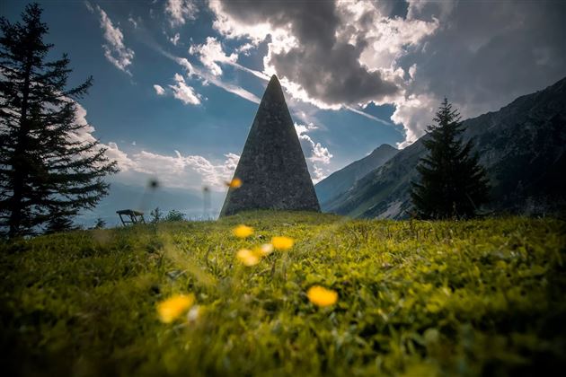
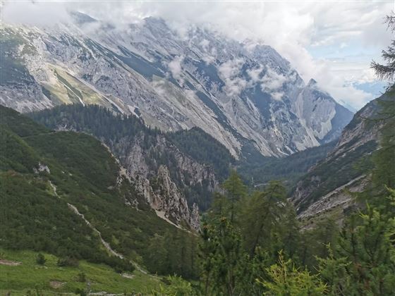
Über die Almstraße geht es hinauf bis zur Thaurer Alm. Von dort über die Kaisersäule weiter zum Törl. Das Törl ist der höchste Punkt der Tour, von dem es hinunter in das Halltal geht.

Features & Properties

Stamina

Experience

Landscape

Map & Elevation Profile

Arrival

Hall Ost- Thaur

Similar Tour Suggestions

Haneburger

Medium

Hiking route

11,84 km

07:00 h

1205 hm

1481 hm

2579 m

Via Alpina - Red trail - From the Inn Valley south

Hard

Long-Distance Hiking

60,05 km

23:15 h

2969 hm

4345 hm

2794 m

Closed
Von Mils über Baumkirchen nach Fritzens

Easy

Hiking route

6,28 km

01:40 h

45 hm

69 hm

658 m

Über die Thaurer und Vintl Alm

Medium

Hiking route

13,76 km

05:00 h

1037 hm

1027 hm

1600 m

Von Gandenwald/Kranzach zur Walderalm

Medium

Hiking route

9,88 km

04:30 h

611 hm

612 hm

1502 m

On the trail of Emperor Franz I to the Kaisersäule

Medium

Hiking route

11,01 km

04:30 h

884 hm

1702 m

Entlang des Voldertalbaches zur Steinkasernalm

Medium

Hiking route

9,55 km

02:30 h

907 hm

24 hm

1999 m

The Eagles´ Trail – From mountain solitude into the town (12)

Hard

Long-Distance Hiking

13,14 km

07:06 h

1949 hm

1448 hm

2498 m