Hall-Wattens Tourismus
We use cookies for your personalized browsing experience, to personalize content and ads, to provide social media features, and to analyze traffic to our website. We also share information about your use of our website with our social media, advertising and analytics partners. Our partners may combine this information with other data that you have provided to them or that they have collected as part of your use of the Services. (incl. US providers)

Easy

Zwugl - Runde am Glungezer

Nature Trail

1,77 km

00:35 h

76 hm

75 hm

1563 m

Best Time of Year

Jan

Feb

Mar

Apr

May

Jun

Jul

Aug

Sep

Oct

Nov

Dec

Information

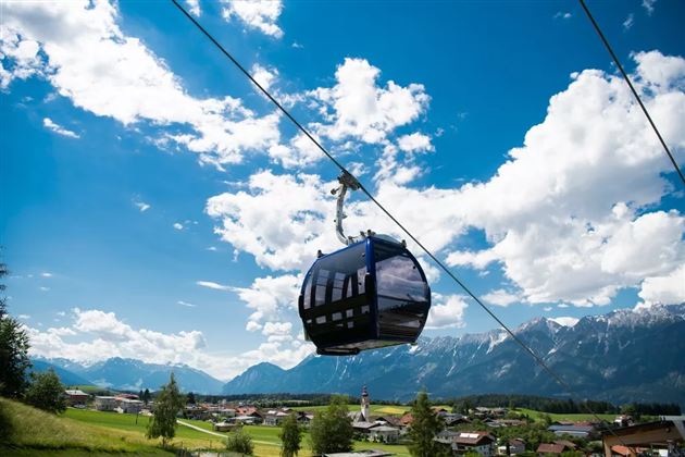
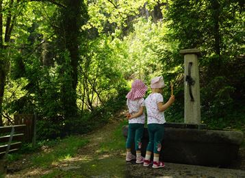
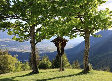
This shady, short forest loop starts from Gasthof Halsmarter at the Kugelwald. It goes slightly downhill on a good forest path before returning briefly uphill to the starting point at the end.

Features & Properties

Stamina

Experience

Landscape

Map & Elevation Profile

Arrival

Tulfes - Glungezerbahn

Similar Tour Suggestions

Senselerweg: Zehenter Alm über Naviser Kreuzjoch bis Toldern

Medium

Hiking route

14,68 km

06:30 h

882 hm

1250 hm

2516 m

The Eagles´ Trail – From mountain solitude into the town (12)

Hard

Long-Distance Hiking

13,14 km

07:06 h

1949 hm

1448 hm

2498 m

Through the green Wattental to the Mölser Peak

Medium

Hiking route

18,95 km

06:00 h

1129 hm

2478 m

München - Venedig: Von Tulfes zur Glungezerhütte

Medium

Long-Distance Hiking

15,87 km

05:00 h

1782 hm

99 hm

2606 m

Closed
Hike to 4 huts - Almenweg 1600

Medium

Hiking route

10,41 km

03:10 h

251 hm

656 hm

1959 m

Rundwanderweg Voldertal

Medium

Hiking route

9,65 km

03:30 h

75 hm

707 hm

1561 m

Über die Zunterköpfe oberhalb von Thaur

Hard

Hiking route

11,25 km

05:30 h

1272 hm

1271 hm

1963 m

Munich - Venice: Through the Wattental to the Lizumer Hütte

Medium

Long-Distance Hiking

26,69 km

08:00 h

1604 hm

377 hm

2019 m

Closed