We use cookies for your personalized browsing experience, to personalize content and ads, to provide social media features, and to analyze traffic to our website. We also share information about your use of our website with our social media, advertising and analytics partners. Our partners may combine this information with other data that you have provided to them or that they have collected as part of your use of the Services. (incl. US providers)

Medium

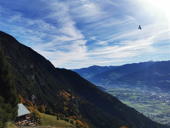
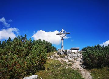
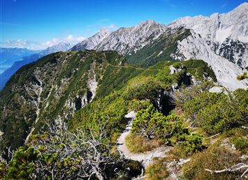
Auf einen kleinen Aussichtsgipfel neben der Thaurer Alm: Thaurer Rosskopf

Hiking route

9,85 km

04:00 h

741 hm

740 hm

1571 m

Best Time of Year

Jan

Feb

Mar

Apr

May

Jun

Jul

Aug

Sep

Oct

Nov

Dec

Information

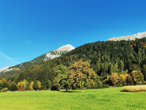
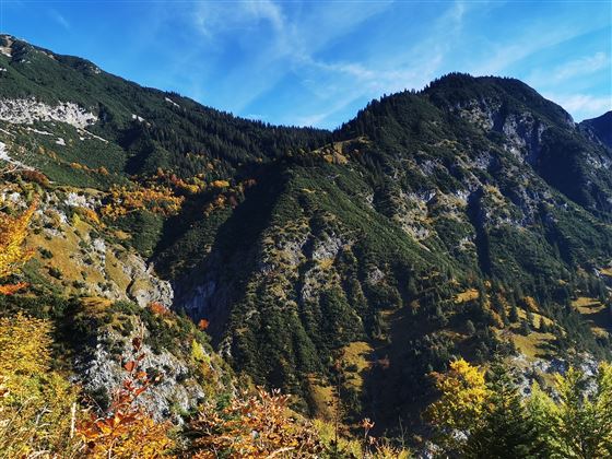
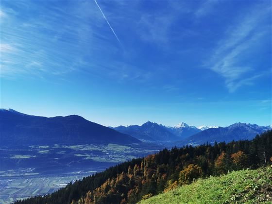
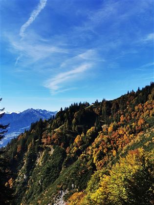
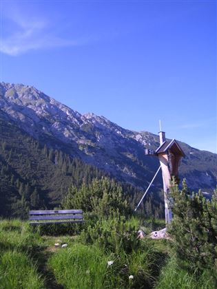
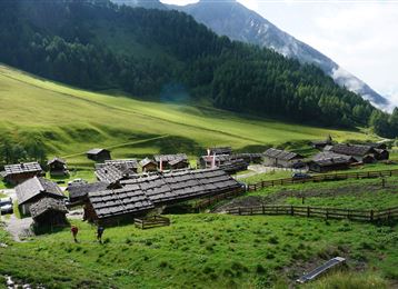
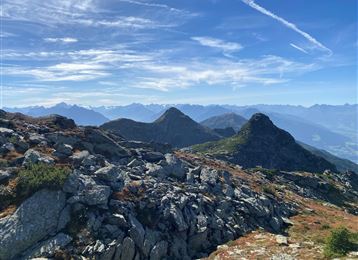
The short but no less scenic hike takes us via the Thaurer Alm to the Thaurer Rosskopf. Also ideal for a quick workout after work!

Features & Properties

Stamina

Experience

Landscape

Map & Elevation Profile

Arrival

Thaur - Thaurer Alm Wanderparkplatz

Similar Tour Suggestions

Von Rinn über die Rinner Alm zur Kriegerkapelle

Medium

Hiking route

11,12 km

04:00 h

759 hm

772 hm

1740 m

Via Alpina - Red trail - From the Inn valley to the north - Naturpark Karwendel

Hard

Lizum Stone Pine Trail

Medium

Hiking route

12,03 km

04:30 h

617 hm

2019 m

On the trail of Emperor Franz I to the Kaisersäule

Medium

Hiking route

11,01 km

04:30 h

884 hm

1702 m

Egger Hütten Runde

Hard

Hiking route

6,81 km

04:30 h

579 hm

1308 m

Teufelsmühle

Easy

Hiking route

12,81 km

04:30 h

330 hm

325 hm

1023 m

The Way of St James in the Tyrol

Easy

Pilgrim Walk

16,02 km

04:15 h

359 hm

360 hm

920 m

München - Venedig: Von Tulfes zur Glungezerhütte

Medium

Long-Distance Hiking

15,87 km

05:00 h

1782 hm

99 hm

2606 m