We use cookies for your personalized browsing experience, to personalize content and ads, to provide social media features, and to analyze traffic to our website. We also share information about your use of our website with our social media, advertising and analytics partners. Our partners may combine this information with other data that you have provided to them or that they have collected as part of your use of the Services. (incl. US providers)

Hard

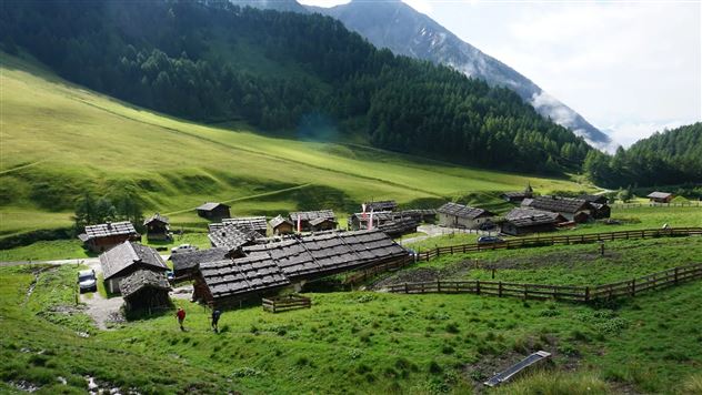
Senselerweg: Von der Brixnerhütte und der Fanealm zum Spingeser Kreuz

Long-Distance Hiking

20,48 km

07:00 h

649 hm

1648 hm

2275 m

Best Time of Year

Jan

Feb

Mar

Apr

May

Jun

Jul

Aug

Sep

Oct

Nov

Dec

Features & Properties

Stamina

Experience

Landscape

Map & Elevation Profile

Similar Tour Suggestions

The Stone Pine Path

Easy

Hiking route

7,35 km

02:30 h

89 hm

178 hm

2061 m

Piepmatzweg

Easy

Nature Trail

2,06 km

01:30 h

301 hm

873 m

Via Alpina - Red trail - From the Inn Valley south

Hard

Long-Distance Hiking

60,05 km

23:15 h

2969 hm

4345 hm

2794 m

Poltentalrunde im Frühjahr

Easy

Hiking route

5,78 km

01:45 h

203 hm

994 m

Wurzelschellweg

Medium

Hiking route

6,10 km

02:00 h

378 hm

892 m

Munich - Venice: From the Glungezer Hut to the Lizumer Hut

Hard

Long-Distance Hiking

15,81 km

07:25 h

1059 hm

1651 hm

2794 m

Durch das Halltal auf das Lafatscherjoch

Hard

Hiking route

17,51 km

07:30 h

1365 hm

2085 m

Von Rinn über die Rinner Alm zur Kriegerkapelle

Medium

Hiking route

11,12 km

04:00 h

759 hm

772 hm

1740 m