We use cookies for your personalized browsing experience, to personalize content and ads, to provide social media features, and to analyze traffic to our website. We also share information about your use of our website with our social media, advertising and analytics partners. Our partners may combine this information with other data that you have provided to them or that they have collected as part of your use of the Services. (incl. US providers)

Medium

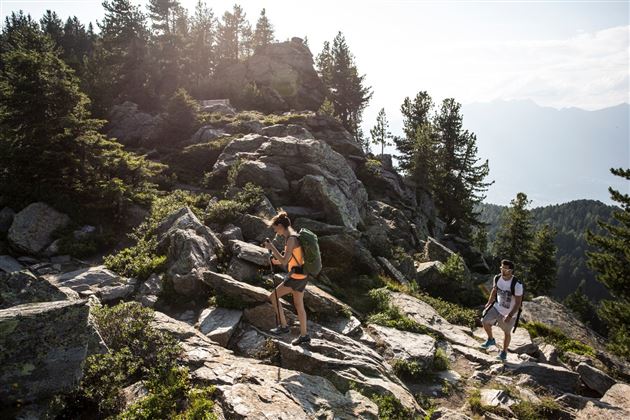
The Eagles' Way (Adlerweg) – Alpine Roses, Stone Pines, Nutcrackers

Long-Distance Hiking

7,83 km

02:25 h

201 hm

105 hm

2061 m

Best Time of Year

Jan

Feb

Mar

Apr

May

Jun

Jul

Aug

Sep

Oct

Nov

Dec

Information

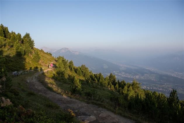
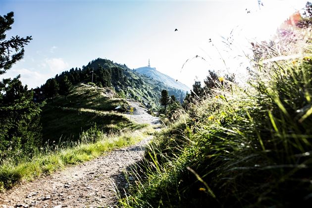
Echte Bergler zieht es wieder in die Berge, aber nach dem Highlife in der Stadt kommt diese leichte Etappe gerade recht. Die Beine können noch etwas ausruhen, denn man fährt mit Bus oder Straßenbahn nach Igls, von dort mit der Gondelbahn zur Bergstation Patscherkofel. Der Zirbenweg ist ein breiter Pfad

Read More...

Features & Properties

Stamina

Experience

Landscape

Map & Elevation Profile

Arrival

Igls Patscherkofelbahn

Similar Tour Suggestions

Zum Wasserradl

Easy

Nature Trail

2,58 km

00:47 h

86 hm

80 hm

1009 m

Tree path

Easy

Nature Trail

2,17 km

00:35 h

61 hm

67 hm

920 m

The Stone Pine Path

Easy

Hiking route

7,35 km

02:30 h

89 hm

178 hm

2061 m

Poltentalrunde im Frühjahr

Easy

Hiking route

5,78 km

01:45 h

203 hm

994 m

Zum Alpengasthaus St. Magdalena im Halltal

Easy

Hiking route

7,21 km

04:00 h

516 hm

1288 m

Markiss- Largozalm

Medium

Hiking route

15,80 km

04:00 h

1016 hm

1955 m

Von Volderwildbad zur Largozalm

Medium

Hiking route

8,24 km

03:30 h

822 hm

835 hm

1933 m

Stage 3 from Tulfes to Thaur

Medium

Long-Distance Hiking

13,76 km

04:30 h

237 hm

565 hm

1009 m