Medium

Hike to 4 huts - Almenweg 1600

Hiking route

10,41 km

03:10 h

251 hm

656 hm

1959 m

Best Time of Year

Jan

Feb

Mar

Apr

May

Jun

Jul

Aug

Sep

Oct

Nov

Dec

Information

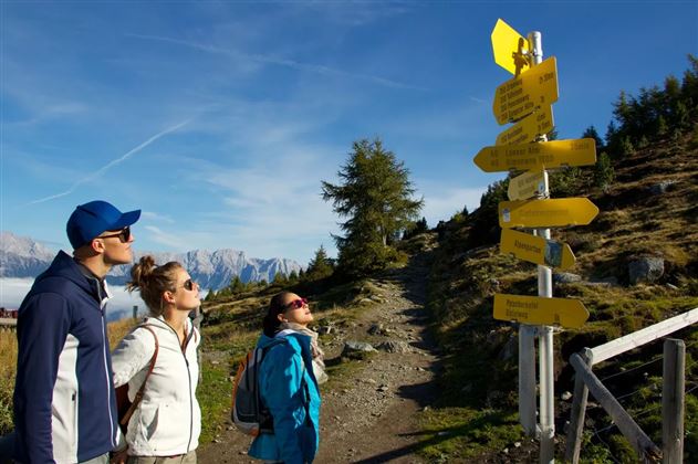
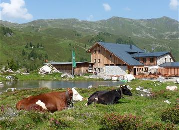
Starting at the summit station of the Patscherkofel cable car this hike leads you via 4 different huts to Tulfes.

Beside of the Stone Pine Path this is one of the most beautiful path to see the Alpine roses in the region. Via the Lanser, Sistanser, Aldranser an Rinner hut this

Read More...

Features & Properties

Stamina

Experience

Landscape

Map & Elevation Profile

Similar Tour Suggestions

Stage 5 Gnadenwald to Mairbach/Gnadenwald

Medium

Long-Distance Hiking

17,65 km

05:30 h

694 hm

684 hm

1527 m

Via Alpina - Red trail - From the Inn Valley south

Hard

Long-Distance Hiking

60,05 km

23:15 h

2969 hm

4345 hm

2794 m

Closed
Milser Skulpturenweg

Easy

Nature Trail

2,14 km

00:30 h

20 hm

652 m

Historic Salt Trail

Easy

Nature Trail

5,29 km

02:20 h

717 hm

1494 m

Zum Wasserradl

Easy

Nature Trail

2,58 km

00:47 h

86 hm

80 hm

1009 m

Ganalm-Walderalm

Hard

Hiking route

15,42 km

04:00 h

662 hm

672 hm

1502 m

Vier-Almen-Wanderung im Naturpark Karwendel

Medium

Hiking route

17,00 km

06:00 h

1074 hm

1600 m

München - Venedig: Von Tulfes zur Glungezer- Hütte

Medium

Long-Distance Hiking

15,87 km

05:00 h

1782 hm

99 hm

2606 m

Closed