Hiking

Hard

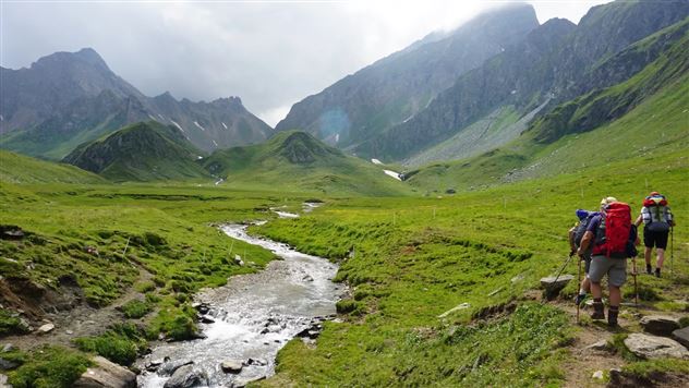
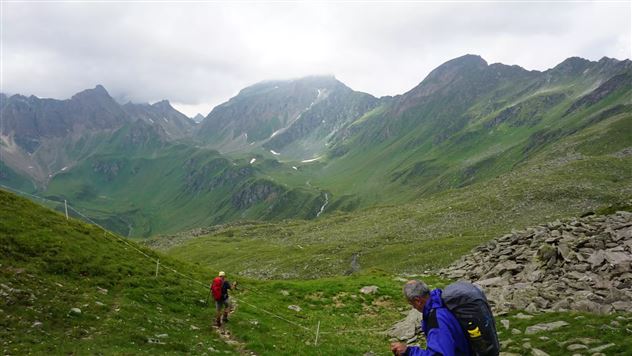
Senselerweg: Vom Pfitscherjochhaus zur Brixnerhütte

Long-Distance Hiking

16,26 km

09:30 h

1440 hm

1460 hm

2636 m

Best Time of Year

Jan

Feb

Mar

Apr

May

Jun

Jul

Aug

Sep

Oct

Nov

Dec

Features & Properties

Stamina

Experience

Landscape

Map & Elevation Profile

Similar Tour Suggestions

St. Martin - Hinterhornalm - Walderalm

Medium

Hiking

Hiking route

5,56 km

02:30 h

700 hm

107 hm

1532 m

Zum Alpengasthaus St. Magdalena im Halltal

Easy

Hiking

Hiking route

7,21 km

04:00 h

516 hm

1288 m

Via Alpina - Red trail - From the Inn Valley south

Hard

Hiking

Long-Distance Hiking

60,05 km

23:15 h

2969 hm

4345 hm

2794 m

Varied hike along the Adolf Pichler Trail

Easy

Hiking

Hiking route

11,29 km

03:00 h

360 hm

232 hm

953 m

The Eagles' Way (Adlerweg) – Alpine Roses, Stone Pines, Nutcrackers

Medium

Hiking

Long-Distance Hiking

7,83 km

02:25 h

201 hm

105 hm

2061 m

Zum idylischen Mölssee

Medium

Hiking

Hiking route

16,55 km

06:05 h

1019 hm

2379 m

On the panoramic Hochmahdkopf

Medium

Hiking

Hiking route

8,13 km

04:00 h

963 hm

958 hm

1736 m

Almwanderung Außermelang-Alm

Easy

Hiking

Hiking route

7,81 km

02:45 h

473 hm

1871 m