Easy

Path of Contemplation

Nature Trail

3,78 km

01:05 h

130 hm

16 hm

908 m

Best Time of Year

Jan

Feb

Mar

Apr

May

Jun

Jul

Aug

Sep

Oct

Nov

Dec

Information

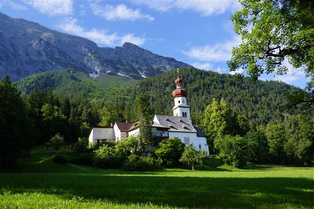
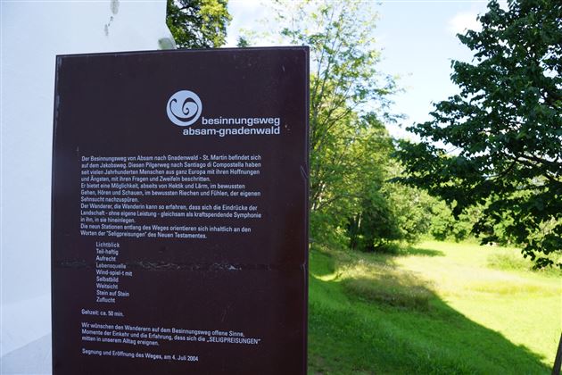
For many people, the quest for spiritual inspiration has become a matter of survival. When we lead such busy lives, it is very difficult to find tranquillity and a chance to get right inside our soul. This unfortunate fact arouses in many people a yearning for "more from life" and

Read More...

Features & Properties

Stamina

Experience

Landscape

Map & Elevation Profile

Arrival

Inntalautobahn A12 - Ausfahrt Hall Mitte - weiter über die Verbindungsstrasse Hall in Tirol - Absam – Gnadenwald

Similar Tour Suggestions

Hinauf auf den Largoz

Medium

Hiking route

6,92 km

05:00 h

853 hm

852 hm

2204 m

Viggarspitze

Medium

Hiking route

16,14 km

06:00 h

427 hm

1562 hm

2303 m

Zum Alpengasthaus St. Magdalena im Halltal

Easy

Hiking route

7,21 km

04:00 h

516 hm

1288 m

Durch das Halltal auf das Lafatscherjoch

Hard

Hiking route

17,51 km

07:30 h

1365 hm

2085 m

Senselerweg: Geraerhütte über Alpeinerscharte zum Pfitscherjochhaus

Medium

Long-Distance Hiking

11,24 km

06:30 h

851 hm

932 hm

2959 m

Tree path

Easy

Nature Trail

2,17 km

00:35 h

61 hm

67 hm

920 m

Baumkirchner Tal

Easy

Hiking route

8,42 km

02:20 h

215 hm

214 hm

820 m

Senselerweg: Vom Pfitscherjochhaus zur Brixnerhütte

Hard

Long-Distance Hiking

16,26 km

09:30 h

1440 hm

1460 hm

2636 m