Inntaler. High trail
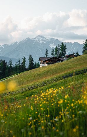
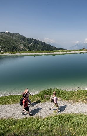
The "Inntaler Höhenweg 2000" follows the 2000m contour line high above the Inntal valley for six days to the east, from the Patscherkofel to the Kellerjoch - and vice versa. Between 1800 and 2800 m, the "Inntaler" runs through the largely untouched, lonely mountain landscape of the Tux Alps. No luggage transport is offered on this long-distance hiking trail! The high-level trail is a fantastic, panoramic long-distance hike for "peak collectors", mostly above the tree line, with often great valley views and mountain panoramas of the Karwendel and Zillertal Alps.
Tour description
From Innsbruck/Igls, the route leads over the Patscherkofel on the Zirbenweg to the Glungezer Hütte (2610 m), on the "Glungezer&Geier" ridge route over the "seven tuxer summits" to the Lizumer Hütte (2019 m). From here, the "Inntaler" follows the Central Alpine Trail 02A over the Grafennsjoch to the Weidener Hütte, from there over the Nurpensjoch to the Rastkogel Hütte (2117 m), to Hochfügen and over the Loassattel to the Kellerjoch Hütte, with a descent to Schwaz.
The "Inntaler" runs through the Patscherkofel - Zirmberg - Viggartal landscape conservation area, above the Blue Lakes, passes through Voldertal, Navistal, Wattental, Nafing- and Nurpenstal, Sidantal and Finsinggrund. The Patscherkofel and the mountain range to the Glungezer, which continues to the east, offer beautiful views across the Inntal valley to the Nordkette and the Karwendel, and southwards into the Central Alps. In the middle section of the route, between Naviser Jöchl and Grafennsjoch, there are magnificent views of the Zillertal Alps. From the Kellerjoch, the view extends towards Innsbruck, the Zillertal and the Karwendel. Wonderful flora and fauna are constant companions along the way.
6 Tux huts
- Patscherkofel House (1,970 m)
- Glungezerhütte (2,610 m)
- Lizumer Hut (2,019 m)
- Weidener Hut (1,799 m)
- Rastkogel hut (2.124 m)
- Kellerjoch hut (2,237 m)
The stages on the Inntal High Trail
Public transportation and parking facilities:
The starting points of the Inntal High Trail are easily accessible by public transport. Travel tips
The parking lots of the cable cars in Tulfes and Igls can be used by car.
Best time to travel:
The Inntal High Trail is best hiked from mid-June/beginning of July to the beginning of October. Please note the current weather conditions.
