Medium

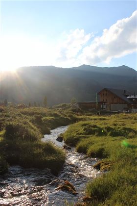
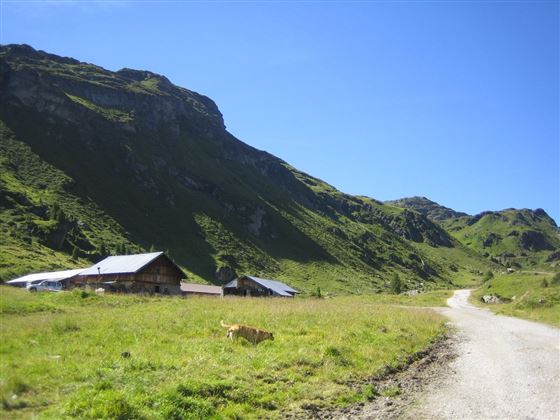
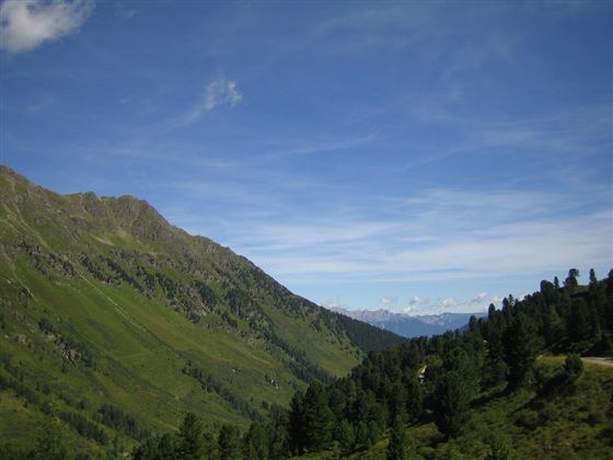
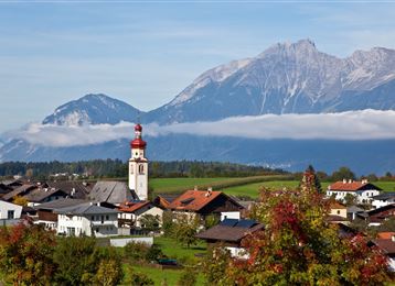
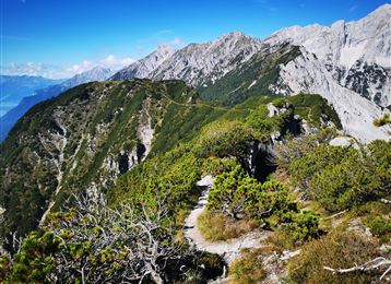
Through the green Wattental to the Mölser Peak

Hiking route

18,95 km

06:00 h

1129 hm

2478 m

Best Time of Year

Jan

Feb

Mar

Apr

May

Jun

Jul

Aug

Sep

Oct

Nov

Dec

Information

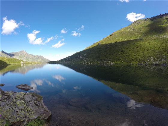
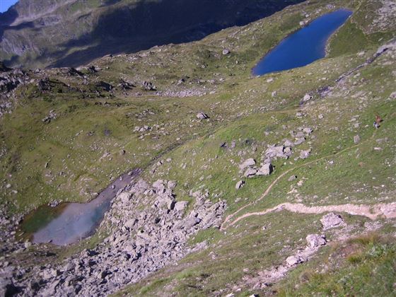
Wonderful hike at the end of the Wattental. With a difficult straight line hike you will reach the deep blue Mölserlake!

Features & Properties

Stamina

Experience

Landscape

Map & Elevation Profile

Arrival

Wattens - Wattenberg - Wattental

Similar Tour Suggestions

Senselerweg: Von der Brixnerhütte und der Fanealm zum Spingeser Kreuz

Hard

Long-Distance Hiking

20,48 km

07:00 h

478 hm

1648 hm

2275 m

Ganalm-Walderalm

Hard

Hiking route

15,42 km

04:00 h

662 hm

672 hm

1502 m

Entlang des Voldertalbaches zur Steinkasernalm

Medium

Hiking route

9,55 km

02:30 h

907 hm

24 hm

1999 m

Von der Tulfeinalm auf den Schartenkogel

Medium

Hiking route

4,25 km

02:00 h

273 hm

2309 m

Entlang des Speckbacherweges

Easy

Hiking route

17,35 km

04:30 h

477 hm

489 hm

1023 m

Stage 5 - Karwendel Höhenweg

Hard

Long-Distance Hiking

9,09 km

06:00 h

800 hm

1100 hm

2694 m

Über die Zunterköpfe oberhalb von Thaur

Hard

Hiking route

11,25 km

05:30 h

1272 hm

1271 hm

1963 m