We use cookies for your personalized browsing experience, to personalize content and ads, to provide social media features, and to analyze traffic to our website. We also share information about your use of our website with our social media, advertising and analytics partners. Our partners may combine this information with other data that you have provided to them or that they have collected as part of your use of the Services. (incl. US providers)

Medium

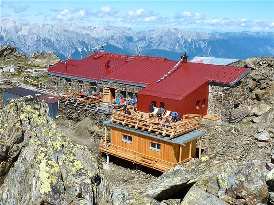
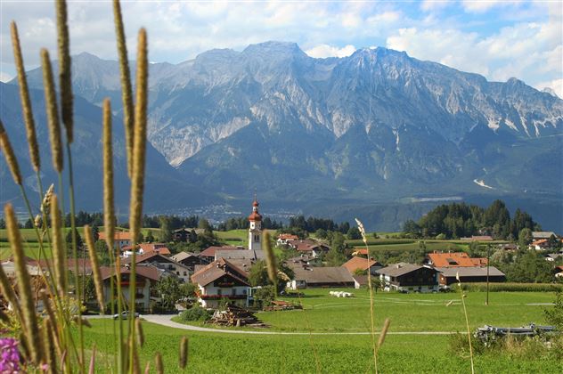
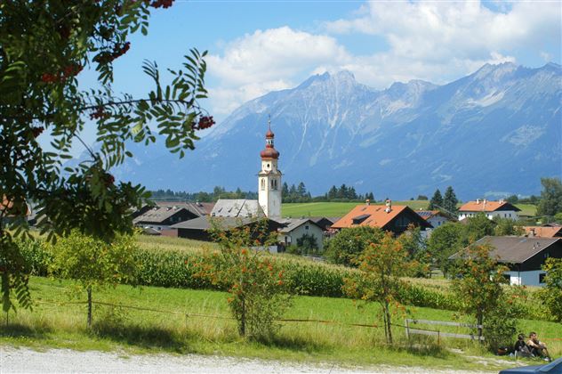
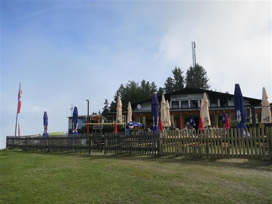
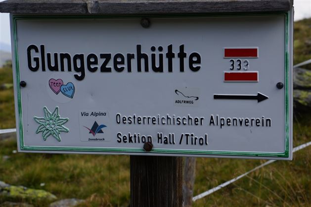
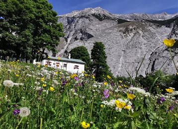
München - Venedig: Von Tulfes zur Glungezerhütte

Long-Distance Hiking

15,87 km

05:00 h

1782 hm

99 hm

2606 m

Best Time of Year

Jan

Feb

Mar

Apr

May

Jun

Jul

Aug

Sep

Oct

Nov

Dec

Information

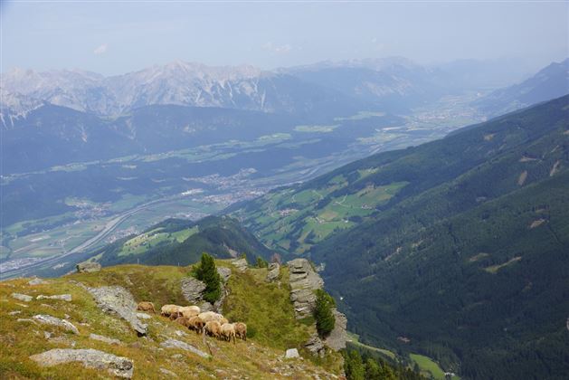
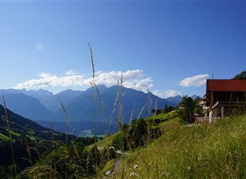
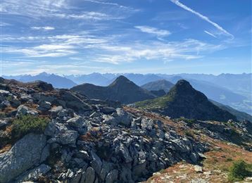
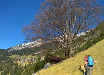
Aufstieg über Tulfes - Windegg - Halsmater - Tulfeinalm weiter bis zum Tulfeinjöchl vorbei an der Schaferhütte. Hier folgt man dem Panoramasteig entlang des Grates mit Blick ins Voldertal auf den Gipfel.


Variante: 

Aufstieg bis Tulfeinalm.

Über den "Zirbenweg" gelangt man nach kurzer Zeit zur Viggarspitze. Von dort führt der Weg weiter zur

Read More...

Features & Properties

Stamina

Experience

Landscape

Map & Elevation Profile

Similar Tour Suggestions

Über die Thaurer und Vintl Alm

Medium

Hiking route

13,76 km

05:00 h

1037 hm

1027 hm

1600 m

Entlang des Voldertalbaches zur Steinkasernalm

Medium

Hiking route

9,55 km

02:30 h

907 hm

24 hm

1999 m

Stage 4 - Karwendel Höhenweg

Hard

Long-Distance Hiking

8,99 km

04:30 h

590 hm

390 hm

2218 m

Munich - Venice: Through the Wattental to the Lizumer Hütte

Medium

Long-Distance Hiking

26,69 km

08:00 h

1604 hm

377 hm

2019 m

Waldrunde Wattenberg

Medium

Hiking route

19,72 km

06:20 h

907 hm

905 hm

1818 m

Stage 5 - Karwendel Höhenweg

Hard

Long-Distance Hiking

9,09 km

06:00 h

800 hm

1100 hm

2694 m

Thaurer Zunterkopf - the little neighbour of the Bettelwurf

Medium

Hiking route

13,48 km

05:00 h

1304 hm

1303 hm

1915 m

Medium

Hiking route

6,43 km

02:00 h

287 hm

280 hm

1626 m