Powertrail. Geocaching
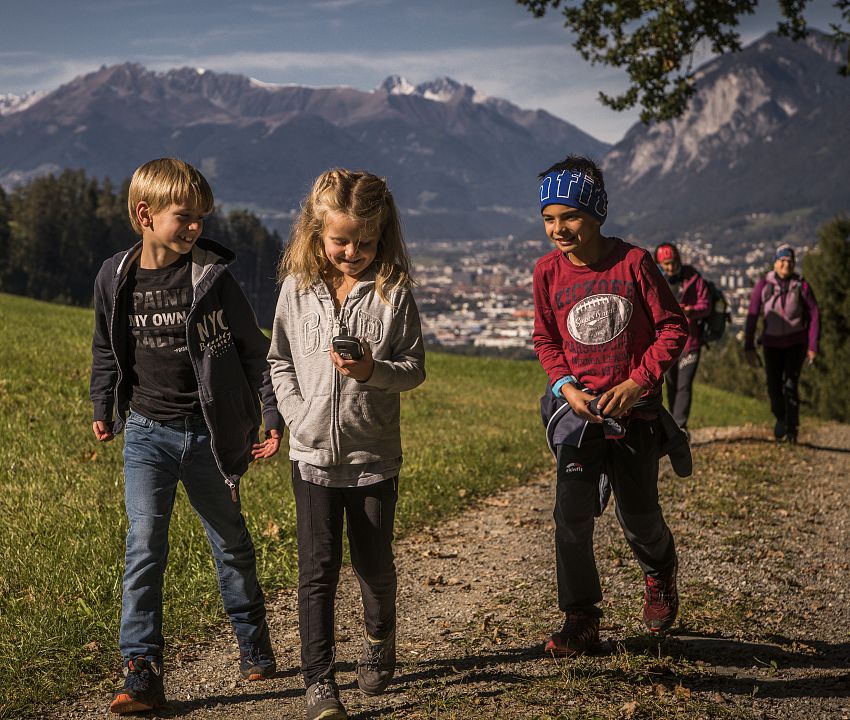
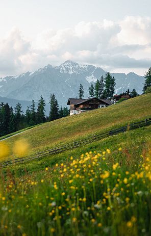
The fantastic mountain world of the Tux Alps provides an impressive backdrop. Easily accessible within a short distance of the central Tyrolean Inn Valley, this geocache tour still offers pure nature: the geocaching power trail "Der Ruf des Adlers - Call of the Eagle" is purely a hiking trail. It is not possible to collect the caches by car. However, you can cover the section from Volderwildbad to Tulfein Alm by mountain bike. After that, however, you can only continue on foot. You should definitely plan two days to complete this power trail.
The Glungezerhütte or Voldertalhütte are ideal places to stay overnight.
Please find out about the weather in advance and observe the rules of conduct in high alpine terrain!
Sections - Geocaching trail part 1:
Part #1 (=A-Trail) of the trail leads from Grossvolderberg at the Volderwildbad parking lot (1,104m) via Windegg (1,216m) in the direction of Neue Gufl (1,337m), then on to the Gluckserhütte (1,362m) up to the Halsmarter junction. From there it goes up to the Tulfein Alm (2,026m) and then via the Schäferhütte (2,300m) to the Glungezerhütte (2,610m)
Route details
- Length: 13.5 km
- Ascent: 1,837 hm
- Descent: 352 hm
- Duration without searching the geocaches: approx. 6 1/2 hours
- Cache count: 53
Sections - Geocaching trail part 2:
Part #2 (=B-Trail) of the trail leads from the Glungezerhütte (2,610m) via the Adlerweg Route 72 to the Glungezer (2,677m), on to the Gamslahner Spitze (2,681m), the next summit is the Kreuzspitze (2,746m), followed by the Rosenjoch (2,796m), on via the Grünbergspitze (2,790m) to the Grafmartspitze (2.720m), followed by the southernmost point - the Naviser Joch (2,479m), then downhill towards Steinkasern (2,002m), on via Klausboden (1,821m) to Vorberg Alm (1,668m), followed by Dörfl (1,400m) and the Voldertalhütte (1,376m) until you reach the Volderwildbad parking lot (1,104m) again.
Route details
- Length: 17.7 km
- Ascent: 627 hm
- Descent: 2.114 hm
- Duration without searching the caches: approx. 6 1/2 hours
- Number of caches: 90
In total there are around 150 caches to discover 150 caches (53 caches in part 1 and 100 caches in part 2).
We hope you enjoy planning your tour and searching/find/logging.
Please reserve your overnight stay at the Glungezerhütte in advance, Tel. +43 5223 78018, Email: glungezerhuette@glungezer.net or Voldertalhütte, Tel. +43 664 9757447, Email: office@voldertalhuette.at
Important information:
The Adlerweg Route 72 is an area that should by no means be underestimated. We recommend that families do not hike this route with children. On this section of the route, absolute surefootedness, a head for heights and sufficient stamina are a must!
Use stealth mode as much as possible when searching and logging. Depending on the time of day and week, there are many hikers on the trail.
Please do not use stamps that are larger than one line (max. line height 5mm), as this wastes an enormous amount of space.
Please also do not use large labels (space problem as above).
It is not forbidden to replace a damaged Petling or damaged or damp logbooks in order to be able to log. Petlings with a length of 14cm were used (normal petling logbooks).
Please note:
There is a fairly clear spoiler image and a helpful hint for each cache. These measures should ensure that all caches are found because the can can only be located there.
No DNF should spoil the smiley chain. You can park at the parking coordinates P1 (Volderwildbad). P1 is free, but has limited capacity (approx. 30 cars). It is advisable to start early.
It is not permitted to pick protected plants. Please take care of the flora and fauna! Please do not hike at night!
The best time to hike is from mid-May to the end of October.
The caches are not winter-proof!!!
ATTENTION: Be aware of high alpine dangers!
Please be aware of the high alpine dangers at this altitude. Find out about the weather in advance (e.g. from hut warden Gottfried at the Glungezerhütte)!
Do not leave the marked paths - danger of falling!
