Karwendel. High trail
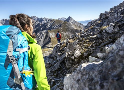
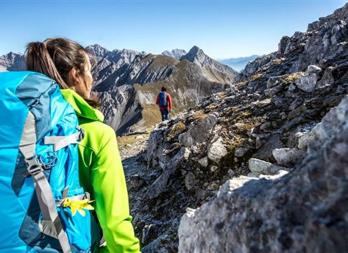
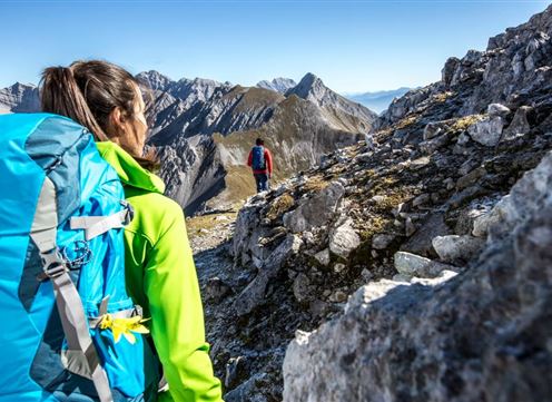
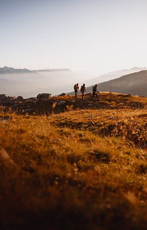
Six days on foot in Austria's largest nature park is much more than just covering 70 kilometers and 9,000 m of altitude in the Austrian Alps. The Karwendel High Trail simply means discovering the Karwendel from the valleys to the summit regions in a very challenging multi-day tour, spending the night in five excellent huts and getting to know the alpine mountain nature in Tyrol with every attentive step.
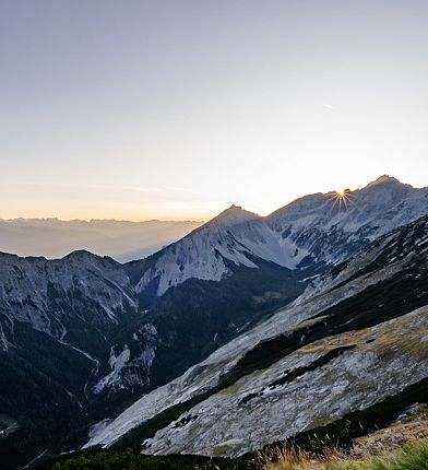
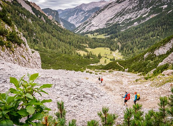
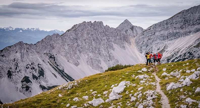
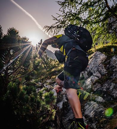
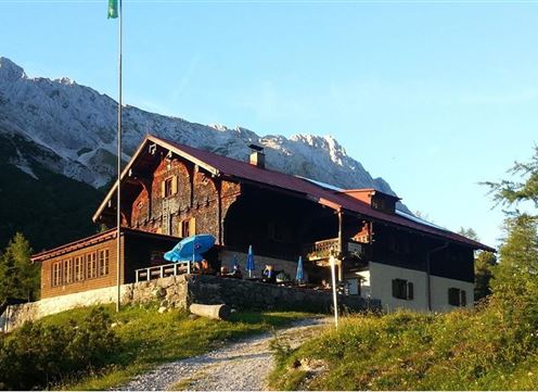
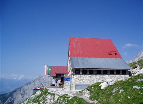
The Karwendel High Trail takes you through the southern part of the Karwendel mountains in Tyrol. The multiple changes of view between the solitude of the Karwendel wilderness and the hustle and bustle of the Inn Valley are unique. Overnight stays are in hand-picked Alpine Club mountain huts, which have something special to offer you and invite you to take a longer break. The Karwendel Höhenweg is not for alpine beginners or children, but is aimed at experienced mountaineers who are sure-footed and have a head for heights, as well as feeling fit enough to tackle the sometimes long and difficult stages. The best time to hike the Karwendel High Trail is from July to September. Late summer in particular is highly recommended with its stable weather periods and excellent views.
The Karwendel Höhenweg can be walked in both directions, i.e. from Reith to Scharnitz and from Scharnitz to Reith. Particularly ambitious mountaineers can "take on" some worthwhile peaks along the way, such as the Stempeljochspitze. Ascents and descents are possible from all huts and the two adjacent mountain lifts can significantly shorten the first and third stages. Getting to the starting point by public transport is very easy and is therefore recommended by us.
Planned hut opening times
- Nördlinger Hütte -> June 01, 2024 - end of September 2024
- Solsteinhaus -> May 17, 2024 - middle of October, 2024
- Pfeishütte -> June 16, 2024 - October 04, 2024
- Bettelwurfhütte -> May 24, 2024 - October 13, 2024
- Hallerangerhaus -> May 31, 2024 - beginning of October 2024
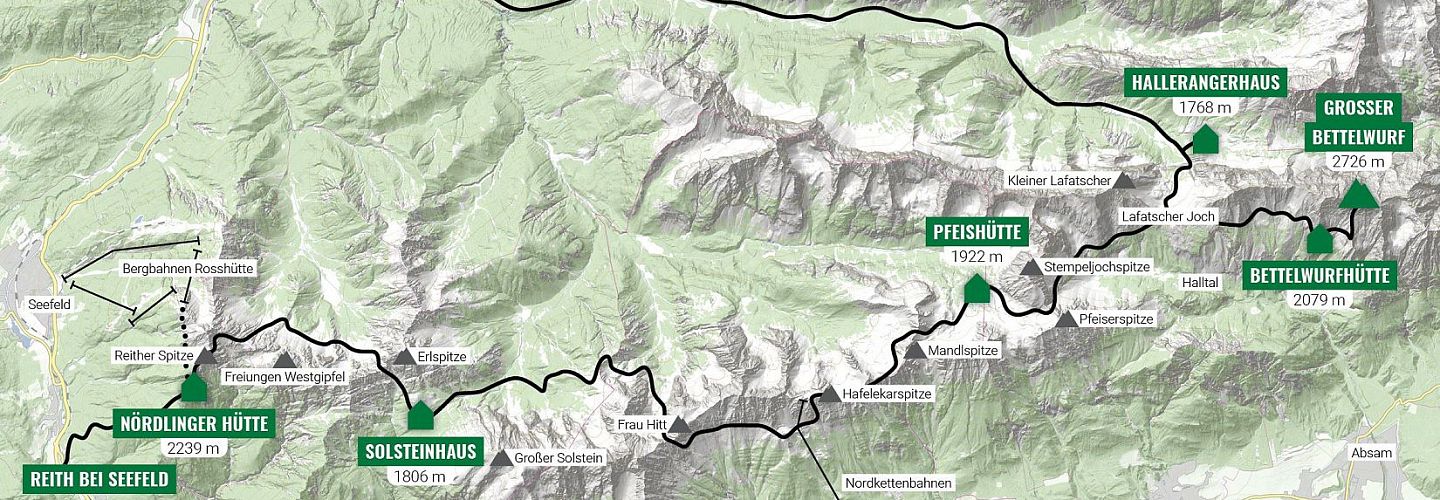
The Karwendel Höhenweg is divided into six stages, on which a total of approx. 7,000 meters in altitude are covered, 3,400 of which are ascents. We recommend walking the trail in a west-east direction. Particularly ambitious long-distance hikers can "take along" some worthwhile peaks such as the Stempeljochspitze. Ascents and descents are possible from all huts and the two adjacent mountain railroads can significantly shorten the first and third stages. Getting to the starting point by public transport is very easy and is therefore recommended.
The descriptions of those stages in the Hall-Wattens region can be found here, the others in the brochure or on the following link:
