We use cookies for your personalized browsing experience, to personalize content and ads, to provide social media features, and to analyze traffic to our website. We also share information about your use of our website with our social media, advertising and analytics partners. Our partners may combine this information with other data that you have provided to them or that they have collected as part of your use of the Services. (incl. US providers)

Easy

Vital Radweg vom Patscherkofel zum Glungezer - Route Süd

Bike Riding

12,97 km

01:12 h

174 hm

151 hm

988 m

Best Time of Year

Jan

Feb

Mar

Apr

May

Jun

Jul

Aug

Sep

Oct

Nov

Dec

Information

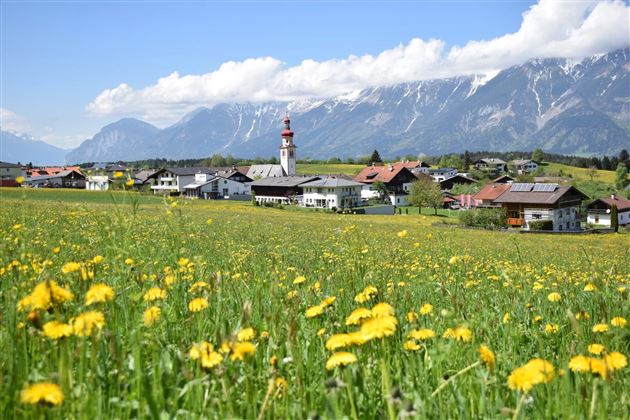
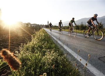
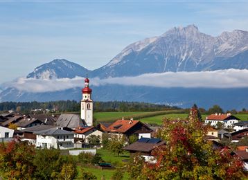
 Schöner Radweg durch die Dörfer im südlichen Mittelgebirge.


Features & Properties

Stamina

Experience

Skill

Landscape

Map & Elevation Profile

Similar Tour Suggestions

Über die MARTHA Dörfer und das Tulfer Plateau

Medium

Road Cycling

39,56 km

02:25 h

673 hm

934 m

Die Inntalschaukel

Hard

Road Cycling

93,55 km

07:13 h

2473 hm

2464 hm

1379 m

Rinner Alm MTB Route 518

Medium

Mountain Biking

3,70 km

01:20 h

453 hm

1400 m

Herrenhäuser

Hard

Mountain Biking

5,32 km

01:30 h

720 hm

1494 m

UCI Straßenrad WM 2018 Straßenrennen - Herren Elite

Road Cycling

146,25 km

54:02 h

2117 hm

2035 hm

1024 m

From the Karlskirche to the Steinkasernalm

Medium

Mountain Biking

16,55 km

04:45 h

1639 hm

194 hm

2002 m

Transalp - Sektion Hall - Brenner

Medium

Mountain Biking

38,13 km

05:06 h

909 hm

397 hm

1090 m

UCI Straßenrad WM 2018 Einzelzeitfahren

Road Cycling

54,97 km

03:13 h

590 hm

529 hm

898 m