Easy

The Stone Pine Path

Hiking route

7,35 km

02:30 h

89 hm

178 hm

2061 m

Best Time of Year

Jan

Feb

Mar

Apr

May

Jun

Jul

Aug

Sep

Oct

Nov

Dec

Information

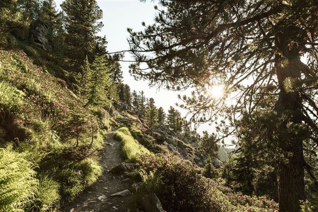
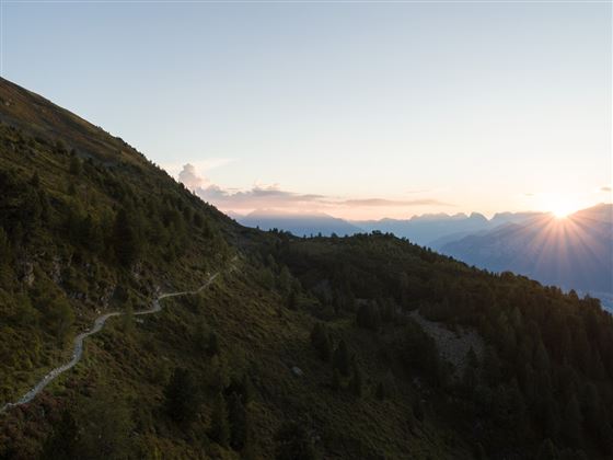
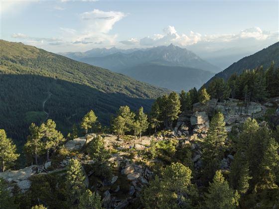
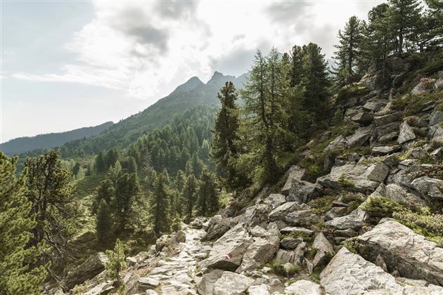
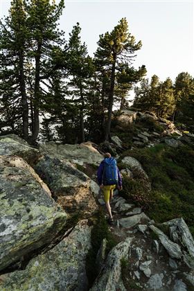
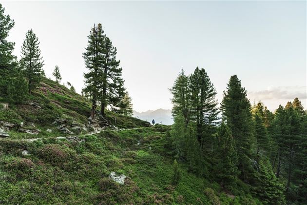
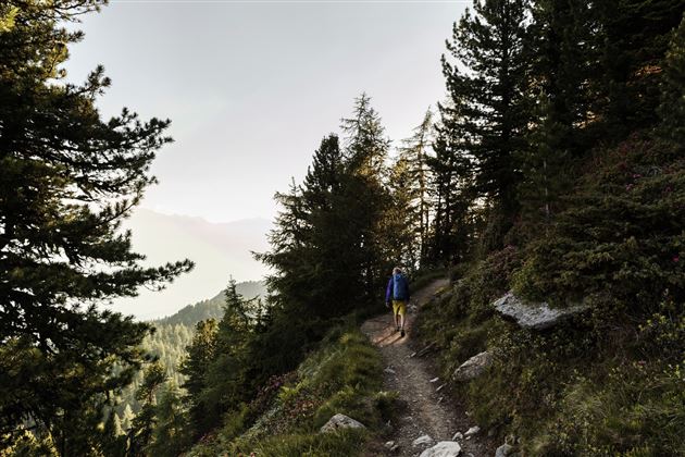
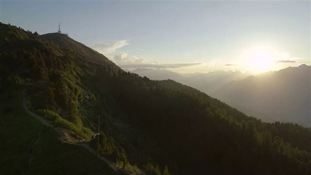
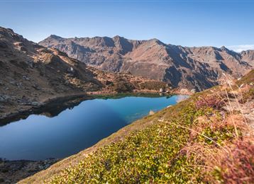
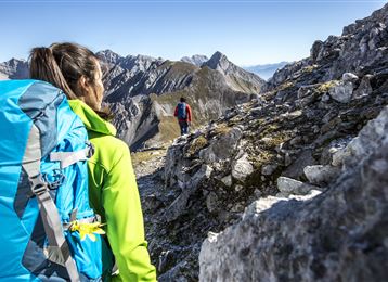
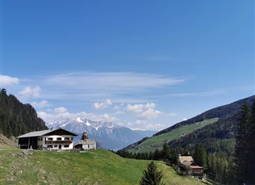
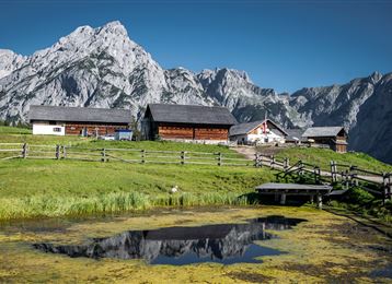
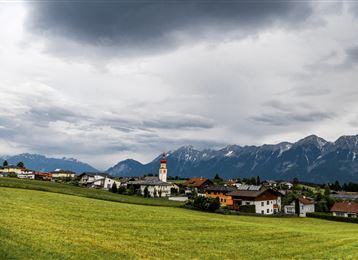
Famous, popular, much-travelled and yet every time an uplifting experience! The Stone Pine Path above Innsbruck runs from the Patscherkofel mountain station to the Tulfeinalm. (cable car station Glungezerbahn)

Features & Properties

Stamina

Experience

Landscape

Map & Elevation Profile

Similar Tour Suggestions

Stage 4 - Karwendel Höhenweg

Hard

Long-Distance Hiking

8,99 km

04:30 h

590 hm

390 hm

2218 m

Senselerweg: Geraerhütte über Alpeinerscharte zum Pfitscherjochhaus

Medium

Long-Distance Hiking

11,24 km

06:30 h

851 hm

932 hm

2959 m

Wattens - Kolsass

Easy

Hiking route

8,64 km

02:30 h

321 hm

331 hm

853 m

Senselerweg: Von der Brixnerhütte und der Fanealm zum Spingeser Kreuz

Hard

Long-Distance Hiking

20,48 km

07:00 h

478 hm

1648 hm

2275 m

Zur Krokusblüte auf die Walderalm

Medium

Hiking route

9,44 km

04:30 h

619 hm

620 hm

1502 m

Von der Tulfeinalm auf den Schartenkogel

Medium

Hiking route

4,25 km

02:00 h

273 hm

2309 m

Haneburger

Medium

Hiking route

11,84 km

07:00 h

1205 hm

1481 hm

2579 m

To the healing water of the Maria Larch Chapel

Medium

Hiking route

10,15 km

02:30 h

316 hm

832 m