We use cookies for your personalized browsing experience, to personalize content and ads, to provide social media features, and to analyze traffic to our website. We also share information about your use of our website with our social media, advertising and analytics partners. Our partners may combine this information with other data that you have provided to them or that they have collected as part of your use of the Services. (incl. US providers)

Medium

Teufelsmühle - Winterwanderung

Winter Hiking

12,41 km

03:40 h

363 hm

1023 m

Information

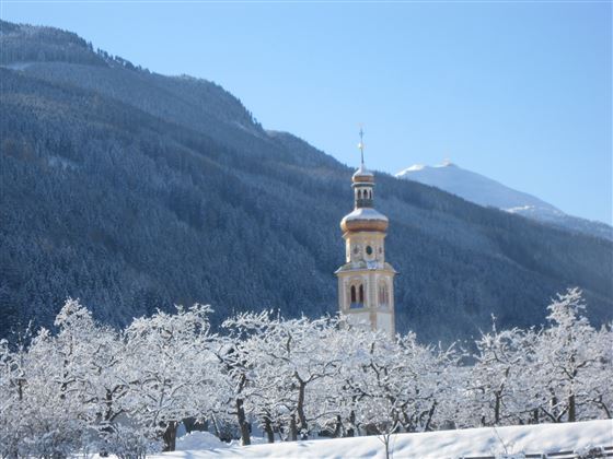
Von Tulfes wandern wir über den Poltenhof nach Unterlavieren und Judenstein. Westlich der Kirche bei den Mooshöfen beginnt der Wanderweg zur Teufelsmühle, der über die Prockenhöfe zum Herzsee nach Aldrans geleitet. Am Retourweg zweigt östlich der Prockenhöfe ein Fahrweg zur Mittelgebirgsstraße ab, der wir in östliche Richtung zu den Wiesenhöfen(GH.)

Read More...

Features & Properties

Stamina

Experience

Landscape

Map & Elevation Profile

Similar Tour Suggestions

Winterwanderung Tulfer Lavieren

Easy

Winter Hiking

7,55 km

02:05 h

213 hm

994 m

Tobboganing at Runstboden

Easy

Sledding

1,44 km

00:45 h

171 hm

3 hm

954 m

Snowshoe- Hike from the Glungezer to the Patscherkofel

Hard

Snowshoe walking

5,20 km

03:30 h

197 hm

583 hm

2605 m

Snowshoeing from Wattens to Gasthof Vögelsberg

Easy

Snowshoe walking

3,56 km

01:30 h

294 hm

284 hm

861 m

Winterwanderung von Mils über Baumkirchen nach Fritzens

Medium

Winter Hiking

5,93 km

02:00 h

55 hm

59 hm

628 m

Snowshoeing up to the Glungezerhut

Medium

Snowshoe walking

2,97 km

02:30 h

566 hm

13 hm

2603 m

Varied hike along the Adolf Pichler Trail

Medium

Winter Hiking

11,80 km

03:00 h

374 hm

252 hm

955 m

To the little alp village

Medium

Snowshoe walking

8,42 km

03:00 h

574 hm

1930 m